Land Deal Analytics That Improve Buy Decisions
Land deal analytics turns parcel data, constraints, costs, and returns into a faster underwriting process before acquisition capital is committed in earnest.
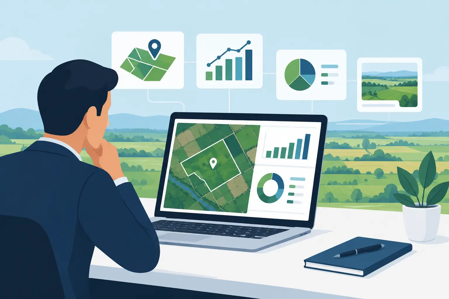
A parcel can look like a clean acquisition on a broker flyer and become a margin problem the moment the team prices cut and fill, off-site utilities, stormwater, or a wetland buffer. Land deal analytics is the discipline of getting those answers early enough to change the decision - before earnest money, engineering spend, or acquisition capital has momentum behind it.
For development teams, analytics is not a prettier map or another dashboard. It is the operating process that connects a site’s physical conditions to the cost, yield, timing, and return assumptions that determine whether the deal works. If those inputs live in separate county portals, GIS viewers, PDF reports, bid tabs, and Excel files, the team is not moving fast. It is moving with gaps.
What land deal analytics should answer
A credible deal screen must answer more than, “Can we build here?” It must answer, “What can we build here, what will it take to get it entitled and developed, and does the return justify the risk?” Those are different questions, and each requires a connected set of inputs.
At the parcel level, start with boundaries, acreage, ownership, access, zoning, surrounding uses, and assessed information. That establishes the basic acquisition picture. Then move immediately into the constraints that change usable land: FEMA flood zones, wetlands, streams, slope, soils, protected areas, utility availability, topography, and jurisdictional requirements.
The real work begins when those layers affect the development plan. A floodplain is not just a colored polygon. It can reduce lot yield, alter road alignment, increase detention requirements, and push grading costs higher. A sewer line nearby is not necessarily a sewer connection available at the capacity and elevation your project needs. Terrain is not merely visual context when thousands of cubic yards of export can change the land basis per finished lot.
Good analytics turns these conditions into decision-grade assumptions. That means putting a number, range, or explicit diligence item next to the risk. It also means preserving the source material so the team knows what is confirmed, what is inferred, and what still needs civil, geotechnical, environmental, or utility verification.
The land deal analytics workflow that holds up
The strongest workflow follows the sequence of the deal instead of forcing teams to adapt to disconnected software. Find the parcel. Analyze constraints. Build a preliminary concept. Estimate sitework. Model returns. Package the findings. Monitor the opportunity until it is won, lost, or moved forward.
Find parcels with the investment thesis in mind
Parcel discovery is more useful when it begins with filters that reflect an actual strategy: target county, minimum acreage, existing zoning, frontage, utility service area, subdivision activity, or ownership profile. Searching broadly can surface opportunities, but an acquisition team needs a way to separate land that is merely available from land that fits its product and absorption assumptions.
Ownership research matters here. The right owner, adjacent tract, or assemblage path can create value that does not appear in a standard listing feed. Boundary confidence matters too. A bad parcel geometry can cause a team to understate acreage, overlook an access issue, or miss a sliver tract that affects the planned entrance.
Analyze the dirt before pricing the dream
Early feasibility should test the site as it exists, not as the team hopes it will be after engineering. Terrain, drainage patterns, flood exposure, wetlands, road access, and infrastructure are the first filters because they influence both yield and horizontal cost.
This is where speed needs discipline. Public layers and available datasets are excellent for triage, but they do not replace a jurisdictional wetland delineation, an ALTA survey, a utility will-serve letter, or a geotechnical investigation. Treat early analytics as a way to direct expensive diligence toward the issues most likely to move the deal.
For example, a 60-acre site may support a compelling gross density calculation. If only 42 acres are realistically usable after buffers, slopes, detention, and road geometry, the relevant question is no longer the cost per gross acre. It is whether the remaining developable area can support enough lots or pads to carry the acquisition price and sitework burden.
Convert terrain into preliminary sitework cost
This is where many acquisition models break. Teams often use a broad per-lot allowance or a historical percentage for horizontal development, then learn after concepting that the site has an unusual grading, utility, or retaining condition. A fast screen can be useful, but it should not pretend every tract carries the same dirt risk.
Preliminary estimating should connect the site layout and terrain to quantities for clearing, stripping, excavation, fill, export or import, erosion control, storm drainage, water, sewer, paving, curbs, sidewalks, and other site-specific work. The exact line items depend on the project type and jurisdiction, but the estimating logic should be transparent enough that a contractor, developer, or civil team can challenge the assumptions.
Cost defaults are valuable when they are local and editable. Southeast-calibrated pricing may provide a realistic starting point for a project in that market, while a site in another region will need different labor, haul, material, utility, and regulatory assumptions. The answer is not to abandon defaults. It is to make every default visible, adjustable, and tied to the conditions on the ground.
Put site costs directly into the pro forma
A sitework estimate that never reaches the acquisition model is just a separate document. Land deal analytics becomes useful when development costs feed the pro forma without a handoff that introduces version errors.
The model should show the relationship between land basis, horizontal costs, vertical assumptions where applicable, soft costs, financing, timing, revenues, and returns. For residential land development, that may include finished-lot pricing, absorption, takedown structure, sales costs, and levered IRR. For a builder or sitework contractor, it may focus more heavily on bid competitiveness, contingency, and margin.
The key is scenario testing. What happens if yield is reduced by 10 percent? What if export is required rather than balanced on site? What if the utility extension costs more, absorption slows, or entitlement takes six months longer? A deal does not need a single perfect answer. It needs a range of outcomes that makes the exposure clear.
Where teams lose time and confidence
Most underwriting failures are not caused by a lack of data. They are caused by broken handoffs. A broker sends a PDF. An analyst locates the parcel in one map tool. Someone downloads FEMA panels and county GIS layers. A civil contact estimates costs by email. The finance model uses a different acreage figure from the preliminary concept. By the time the team meets, no one is fully sure which version is current.
That process creates two problems. First, it is slow enough that teams either miss deals or underwrite them with placeholders. Second, it makes review harder. Senior decision-makers are left comparing screenshots, spreadsheets, and verbal assumptions instead of seeing the physical constraint, cost implication, and financial result in one chain of evidence.
A GIS-centered workspace changes that operating model. Land Takeoffs, for example, brings parcel research, constraint layers, terrain calculations, contractor-built estimating, pro forma inputs, and report outputs into one workflow. The point is not to eliminate expert judgment. It is to make that judgment faster to apply, easier to audit, and less dependent on copying data between systems.
Build a repeatable decision standard
The best acquisition teams do not use analytics only for the deals they buy. They use it to create a repeatable standard for the deals they decline. A documented no is often as valuable as a fast yes because it protects team time, broker relationships, and capital allocation.
Set the decision gates before the pipeline gets busy. A first-pass screen may require clear access, a target usable-acre threshold, no obvious fatal constraint, and a preliminary land basis that works at conservative yield. A second gate can require conceptual layout support, preliminary sitework quantities, utility diligence, and a pro forma that clears the required return under a downside case.
The exact gates depend on your strategy. A merchant developer may tolerate more entitlement risk than a builder buying finished lots. A contractor may see opportunity in a difficult grading package that another bidder cannot price confidently. Analytics should reflect that edge, not flatten every project into a generic score.
The practical test is simple: can the team explain why the deal works, what could break it, and which next diligence step has the highest value? If the answer takes ten files and three meetings to assemble, the process is not ready for competitive land buying.
Make the next deal easier on the people who have to approve it. Tie every major return assumption back to a parcel fact, site constraint, quantity, cost input, or market premise. When the ground changes the numbers, let the numbers change the decision before the commitment does.
Get these quantities from your own plan set
Land Takeoffs reads stamped civil plan sets and CAD files (PDF, DWG, DXF, LandXML) and returns cut and fill, storm, sewer, water and paving quantities, each with the sheet it came from. Your first takeoff is free.
Start a free takeoffUse it in Claude or ChatGPT