Land Development Risks That Kill Good Deals
Land development risks can erase margin before closing. Learn how to test site constraints, costs, approvals, and returns before capital is committed.
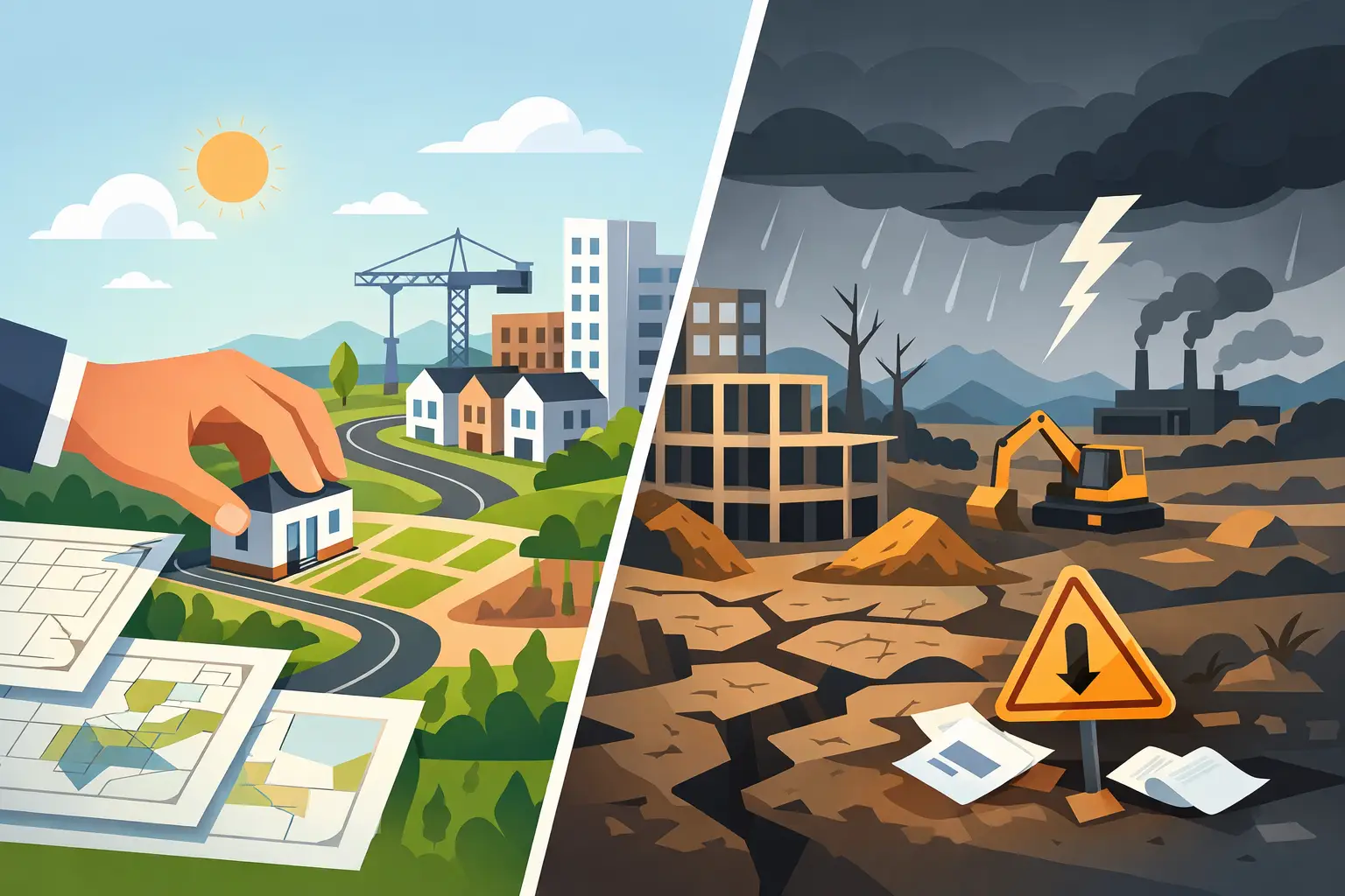
A site can look like a clean residential play on a broker package and still fail the moment real field conditions meet a real budget. That is the nature of land development risks: they rarely arrive one at a time, and the expensive ones compound. A grading issue affects retaining walls, stormwater, utility depth, lot yield, construction duration, and debt carry. A missing sewer detail can turn a strong proforma into a conditional deal.
The goal is not to eliminate uncertainty before you control a property. That is neither practical nor necessary. The goal is to identify the uncertainties that can change the purchase price, density, development cost, schedule, or exit value - then put a number, a contingency, or a contract condition around them before earnest money becomes hard.
Where Land Development Risks Start Compounding
The biggest mistake in early underwriting is treating land risk as a due diligence checklist. Checklists are useful, but they can encourage teams to confirm that a document exists rather than ask whether the underlying condition changes the deal. A wetlands layer, for example, is not a final wetlands determination. A utility line shown near a boundary is not proof of available capacity, pressure, depth, or a feasible extension path.
Good development analysis connects each physical constraint to a financial consequence. If the site loses five buildable lots, what happens to residual land value? If an off-site turn lane is required, does it consume the remaining contingency? If fill must be imported, can local haul distances support the assumed earthwork unit cost? Those are acquisition questions, not issues to hand off after closing.
Entitlement and zoning risk
Zoning is often treated as a yes-or-no screen. It is more useful to view it as the first estimate of yield, not the final answer. Base density may be reduced by minimum lot sizes, frontage requirements, buffers, open-space rules, tree protection, floodplain limits, steep slopes, access constraints, and required stormwater facilities.
A rezoning or variance can create upside, but it should not be underwritten as guaranteed value. The path may depend on a neighboring owner, a political timetable, traffic improvements, or conditions that add material sitework cost. Even by-right projects can face interpretation risk where ordinances leave room for staff discretion.
The practical question is simple: what can be built as of right, what must be approved, and what is the cost and time exposure attached to each approval? Underwrite the base case from the defensible answer. Treat entitlement upside separately, with a probability-weighted return rather than a full-price assumption.
Access, frontage, and off-site improvement risk
Legal access and usable access are not the same thing. A parcel may touch a public road yet still lack the sight distance, driveway spacing, road classification, turning movements, or frontage needed for the intended plan. Access through a private easement can introduce title, maintenance, lender, and construction coordination issues.
Traffic requirements are particularly capable of changing a deal late. A deceleration lane, turn lane, signal contribution, or roadway widening may not be apparent from a simple parcel map. The cost is not limited to pavement. It may include drainage, utility relocation, right-of-way dedication, permitting, and schedule exposure tied to agency review.
Before pricing a site as development-ready, determine who controls access, which agency governs the road, and whether anticipated project traffic triggers improvements. If the answer is unclear, that uncertainty belongs in the offer structure and the proforma.
Utilities and infrastructure risk
Nearby water and sewer lines are only the beginning of utility diligence. Capacity, elevation, ownership, tap fees, extension requirements, easement availability, and timing all matter. A gravity sewer line can be physically close but too shallow or too high to serve the proposed layout without a lift station. A water main can be present but require upgrades to satisfy fire flow.
Where public service is unavailable or delayed, the alternatives need disciplined analysis. Septic feasibility depends on soils, lot configuration, reserve areas, local health department requirements, and often seasonal testing windows. A private package plant or lift station may make a plan technically possible while materially changing operating obligations, financing terms, and buyer acceptance.
Do not use a blanket utility allowance when the project depends on extensions. Separate on-site work, off-site extensions, impact and tap fees, utility relocations, easement acquisition, and contingency. That structure makes it easier to see which cost assumptions are supported and which are placeholders.
Ground Conditions Can Rewrite the Budget
The site plan is only as credible as the ground beneath it. Topography, drainage patterns, soils, rock, groundwater, and existing fill do not operate in isolation. They determine cut and fill quantities, retaining needs, stormwater design, pavement sections, foundation assumptions, and whether exported material can be reused on site.
Earthwork is a volume and logistics problem
A conceptual grading plan can look balanced while still carrying major cost exposure. Material classification matters. Clean soil that can be placed and compacted is different from unsuitable material, wet clay, rock, debris, or regulated soil requiring special handling. So does haul distance. A short import requirement can be manageable; a large import volume sourced from a constrained market can distort the entire civil budget.
Early terrain analysis should calculate existing and proposed grades, approximate cut and fill, slope conditions, and the likely location of detention areas, roads, and pads. Then translate quantities into a line-item estimate that reflects clearing, erosion control, stripping, excavation, hauling, placement, compaction, rock, retaining, and stormwater work. One blended dollar-per-acre assumption hides too much.
Environmental constraints are rarely binary
Floodplains, wetlands, streams, protected species habitat, contamination, and jurisdictional waters each have different implications. The issue is not simply whether a layer touches the parcel. It is whether the constraint reduces usable area, forces crossings, changes stormwater design, triggers permitting, or limits the construction season.
Desktop mapping is valuable for triage, especially before a site visit or letter of intent. It is not a substitute for field delineations, agency coordination, geotechnical work, or environmental reports when those items are material to the deal. The right level of diligence depends on the risk. A small mapped feature near a rear buffer may be manageable. A drainage system cutting through the only feasible access corridor deserves immediate attention.
Cost and Schedule Risk Belong in the Same Model
Development teams often carry construction contingency but underestimate schedule contingency. That is a problem because time becomes a direct cost through interest, taxes, insurance, option extensions, overhead, and delayed revenue. It can also become a market risk if absorption slows or home prices move while the project waits on permits or utilities.
Build a schedule around actual decision gates: contract diligence, survey and title resolution, geotechnical and environmental fieldwork, concept plan review, entitlement hearings, civil design, permit review, utility commitments, bid procurement, and construction. For each gate, identify the party controlling the decision and the consequence of a delay.
This is where integrated underwriting matters. A $300,000 utility scope increase and a six-month approval delay should not live in separate spreadsheets. They both affect levered IRR, equity multiple, required land basis, and whether the deal still meets the investment hurdle. When estimates flow directly into the proforma, the acquisition team can test the deal while decisions are still reversible.
A Better Way to Underwrite the Unknowns
Not every risk deserves the same response. Some can be priced. Some need a contingency. Some require a feasibility period, seller cooperation, or an extension right. Others are walk-away issues because no reasonable price can compensate for the exposure.
A disciplined team separates known costs from assumptions, and assumptions from open questions. Known costs have a basis: a utility letter, a contractor quote, a verified unit cost, or a completed study. Assumptions are reasonable working inputs but need validation. Open questions have no defensible answer yet and should not quietly become numbers in a budget.
For serious pursuits, organize the analysis in one project record rather than across disconnected maps, PDFs, estimate tabs, and email threads. Land Takeoffs helps teams bring parcel research, constraint overlays, terrain quantities, sitework estimates, proformas, and diligence reporting into the same workflow. The advantage is not prettier reporting. It is faster visibility into the assumptions most likely to move land value.
The most useful risk register is not a bureaucratic document built after a committee meeting. It is a live deal tool that names the issue, its likely financial impact, the next fact needed, the owner of that task, and the date by which the answer changes a decision. If a risk cannot be tied to yield, cost, timing, financing, or exit, it may not deserve much attention. If it can, it deserves an owner.
Before raising your offer, ask a harder question than whether the site can be developed: can it be developed at a cost, pace, and yield that still clears your return threshold after the unknowns become known? The teams that answer that question early do not just avoid bad land. They gain the confidence to move quickly when a genuinely good site appears.
Get these quantities from your own plan set
Land Takeoffs reads stamped civil plan sets and CAD files (PDF, DWG, DXF, LandXML) and returns cut and fill, storm, sewer, water and paving quantities, each with the sheet it came from. Your first takeoff is free.
Start a free takeoffUse it in Claude or ChatGPT