Nationwide Parcel Data for Faster Land Deals
Nationwide parcel data helps land teams find sites, verify ownership, surface constraints, and underwrite deals before capital and time are committed.
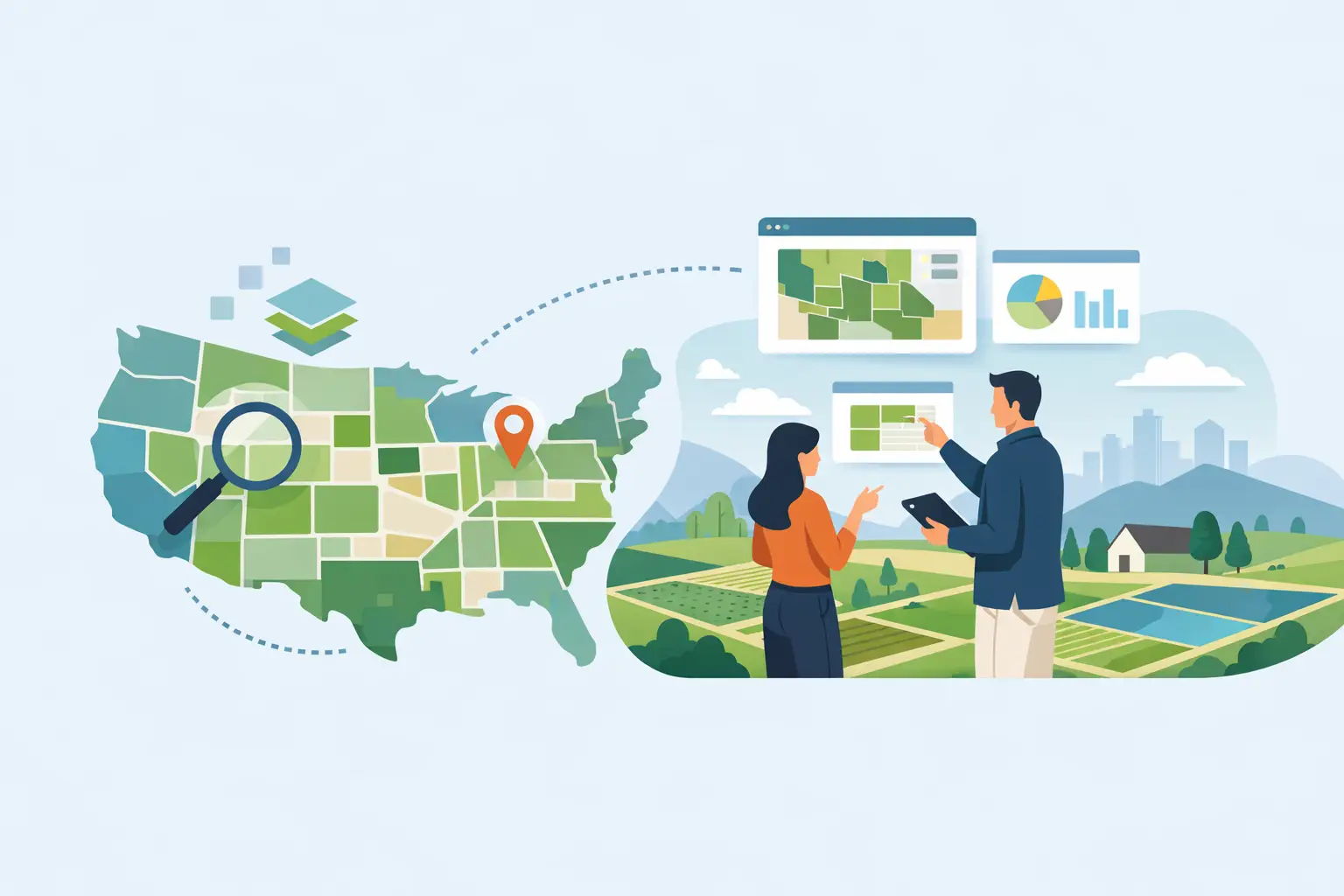
A land deal can look promising for weeks until someone discovers the ownership is stale, the tract geometry is wrong, or the apparent access runs through a separate parcel. Nationwide parcel data gives acquisition and development teams a faster first read on what they are actually looking at: parcel boundaries, acreage, ownership records, tax identifiers, and the surrounding pattern of land control.
That first read matters because early land decisions create expensive momentum. Once a team has spent time on broker calls, preliminary layouts, engineering conversations, and internal investment committee materials, it becomes harder to walk away from a site that should have been screened out on day one. Good parcel intelligence does not replace title work, a survey, or legal diligence. It tells you where to focus them.
What Nationwide Parcel Data Should Tell You
Parcel data is often treated as a basic map layer. For serious land teams, it is the starting point for a decision system. At minimum, a useful nationwide dataset should help you identify a property, understand its shape and size, locate the likely owner, and see how the tract relates to neighboring ownership.
The real value comes from context. A 60-acre parcel is not simply 60 acres. Is it part of a larger assemblage? Does the seller control the frontage parcel? Is there a thin outparcel that interrupts a proposed road connection? Are adjacent lots owned by a public agency, a utility, a family trust, or a developer already building the competing subdivision?
Those questions affect price, entitlement strategy, access, phasing, and exit risk. They also affect how much time the team should spend before making an offer.
Parcel Boundaries Are a Screening Tool, Not a Survey
A map boundary can make a site look clean when the legal reality is not. County parcel geometry varies in quality. Some jurisdictions maintain detailed digital records; others publish generalized or delayed shapes. Acreage, owner names, and assessment attributes can also lag behind recorded transactions.
Use parcel data to screen, compare, and prioritize. Then confirm the facts that carry real legal or financial consequences through the proper records, title review, survey, and counsel. This is not a limitation of parcel data. It is the correct division of labor. Early diligence should be fast and broad. Later diligence should be precise and documented.
Find the Deal Beyond the Broker Flyer
Broker packages are useful, but they are not a sourcing strategy. Nationwide parcel data lets a team search from the ground up: by geography, acreage, parcel pattern, ownership, and adjacency. That changes the conversation from “What is being marketed?” to “What land control opportunity exists here?”
For a residential developer, the best target may be a group of underused tracts just outside an active growth corridor. For a contractor pursuing sitework, it may be the next subdivision phase near a project already under bid. For an acquisition team, it may be a fragmented ownership pattern where one contract could create leverage for an assemblage.
The difference is speed. Instead of moving between county GIS portals, assessor pages, saved map pins, spreadsheets, and screenshots, the team needs one workspace to identify candidate parcels and save the ones that deserve deeper work. The process should support a repeatable acquisition standard, not depend on whoever happens to know a county website best.
Pair Parcel Research With Site Constraints
Parcel data becomes materially more useful when it sits beside the constraints that determine whether a site can be developed at the assumed density and cost.
A parcel may have the acreage your model needs but lose a meaningful share to floodplain, wetlands, steep terrain, utility corridors, buffers, or poor access. Another tract may appear smaller but have better usable land, cleaner frontage, and a more practical utility path. Gross acreage is a starting number. Buildable acreage and developable yield are the numbers that move the deal.
This is why parcel discovery should not end with an owner name and tax ID. Acquisition teams need to inspect FEMA zones, wetlands indicators, contours, roads, utilities, zoning context, and neighboring development activity while the site is still in the screening stage. The goal is not to produce a final engineering plan from a desktop review. The goal is to identify the constraints that can break the original underwriting assumptions.
That approach also improves broker and seller conversations. Rather than asking generic questions about a property, the team can focus on specific issues: recorded access, off-site utility availability, prior studies, drainage history, zoning actions, and adjoining-owner cooperation.
Turn a Parcel Into a Preliminary Cost Position
The most common workflow failure in land acquisition is the gap between mapping and money. A team identifies a site in GIS, hands it to another person for rough grading and utility assumptions, then rebuilds the economics in a separate spreadsheet. By the time the numbers return, the market has moved or the deal has advanced on incomplete information.
Nationwide parcel data should feed the next decision, not create another handoff. Once a parcel is selected, the workflow should move into terrain review, earthwork quantities, sitework assumptions, and a preliminary estimate organized around the work that actually gets built.
For example, a tract with dramatic elevation change may still work, but only if lot grading, retaining, import or export, stormwater, and roadway sections support the basis. A site beside an existing utility main may still require costly extensions, crossings, or capacity upgrades. The answer is rarely a simple yes or no. It depends on the layout, jurisdiction, utility provider, and product type. But the cost exposure should be visible before the team presents a land price as if the site were ordinary.
Land Takeoffs is built around this sequence: find the parcel, analyze the site, calculate terrain-driven quantities, build a detailed sitework estimate, and push those inputs into the development proforma. That lets teams test the land basis against actual site conditions rather than relying on a broad per-lot allowance.
Build a Repeatable Acquisition Record
A good parcel review should survive the next meeting. That means saving the location, parcel IDs, owner research, assumptions, constraint layers, notes, and decision status in a project record that others can inspect.
Without that record, teams repeat the same research every time a project is revisited. More importantly, they lose the reasoning behind a pass. Six months later, someone may bring the tract back to the pipeline without realizing it was rejected because the viable entrance depended on an uncooperative adjoining owner or because the assumed sewer connection was not practical.
A disciplined process gives every candidate site a clear status: monitor, contact, underwrite, pursue, hold, or pass. It also separates facts from assumptions. Parcel acreage and tax identifiers are facts to verify. Expected lot yield, utility costs, land basis, and absorption are assumptions to test. Mixing them together is how weak diligence becomes a confident-looking spreadsheet.
Where Data Quality Still Requires Judgment
No national dataset removes the need for local knowledge. County update schedules differ. Ownership fields may reflect mailing entities rather than the real decision-maker. Parcel splits, combinations, and recorded easements may not appear immediately. In fast-growth counties, map data can lag the market activity that matters most.
The right response is not to abandon nationwide coverage. It is to use it correctly. Start broad, identify the highest-value questions, then validate through county records, local contacts, title, surveyors, civil engineers, and utility providers. Nationwide coverage gives your team a consistent front end. Local diligence supplies the confirmation.
That balance is especially important in assemblages. A map can reveal the likely ownership pattern, but it cannot tell you whether a family is ready to sell, whether a contract exists, or whether a seemingly minor tract controls the only viable access. It gives the team a better next move, not permission to skip the next move.
Make the First Look Count
The best use of parcel intelligence is not producing prettier maps. It is shortening the time between a lead and a defensible decision. When parcel boundaries, ownership research, constraints, terrain, costs, and financial assumptions live in separate tools, the team spends its energy reconciling inputs. When they work from the same project record, they can spend that time deciding whether the site deserves capital.
Start with the parcel, but do not stop there. The winning land teams are the ones that can turn a map click into a credible cost and return position before the competition has finished gathering files.
Get these quantities from your own plan set
Land Takeoffs reads stamped civil plan sets and CAD files (PDF, DWG, DXF, LandXML) and returns cut and fill, storm, sewer, water and paving quantities, each with the sheet it came from. Your first takeoff is free.
Start a free takeoffUse it in Claude or ChatGPT