Sitework Estimating Software That Speeds Up Bids
Sitework estimating software helps builders and contractors turn terrain, utilities, and scope into defensible costs before capital or bids are committed.
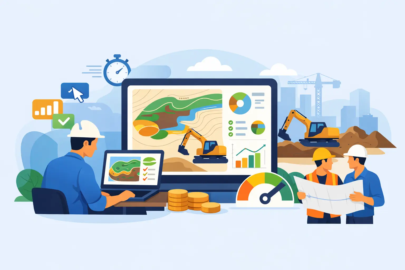
A site can look like a clean deal until the grading starts. One overlooked retaining condition, an underestimated export haul, or a utility extension that was never carried in the budget can erase the margin before the first pad is ready. Sitework estimating software exists to expose those costs early, while a developer can still adjust land basis and a contractor can still protect the bid.
The standard approach is familiar: aerials in one browser tab, contours in another, a civil exhibit in a PDF, production assumptions in someone's head, and costs spread across an inherited Excel workbook. That process can work for a simple site with a veteran estimator at the controls. It breaks down when teams need to compare multiple tracts, turn a pursuit quickly, or explain exactly why a number changed.
The better workflow is not about replacing field judgment with software. It is about giving that judgment a disciplined system: terrain and constraints become quantities, quantities become line items, and line items flow into a bid or development proforma without being re-keyed three times.
What Sitework Estimating Software Should Actually Do
Not every estimating platform built for construction is built for land. General estimating tools can price labor, equipment, and materials, but they often leave the hard preconstruction questions outside the system. How much material must move? Where does it go? What portion of the site is buildable after floodplain, wetland, slope, and access constraints are considered? What infrastructure is nearby, and what must be extended?
A capable sitework estimating platform starts with the ground itself. It should let a team define a site boundary, review contours and terrain, calculate cut and fill, account for shrink or swell assumptions, and produce quantities that can be traced back to the map. It should also organize the scope into the categories that actually drive civil costs: clearing, erosion control, earthwork, stormwater, utilities, roads, concrete, landscaping, and contingency or general conditions.
That does not mean every estimate should be automated. Unit costs vary by market, subcontractor availability, haul distance, soil behavior, specifications, and schedule. The software's job is to make assumptions visible and easy to revise, not to hide a generic price behind a polished dashboard.
The Workflow: From Terrain to a Defensible Number
The strongest estimating process follows the sequence of a real deal. First, establish what the land is. Then determine what it will take to make it usable. Finally, test whether the resulting cost supports the acquisition or bid strategy.
Start with the site boundary and usable area
A parcel boundary is not the same thing as a developable footprint. Before pricing earthwork or utilities, the team needs to see the features that can reduce yield or add scope: FEMA flood zones, wetlands, steep slopes, streams, existing structures, road access, visible utility corridors, and neighboring development patterns.
This is where GIS-centered workflows matter. If constraints live in a separate map tool and quantities live in a spreadsheet, the estimate can easily reflect an outdated site plan. Keeping the boundary, data layers, and cost logic in one workspace gives the team a clearer record of what was known when the estimate was prepared.
Calculate earthwork from actual terrain
Earthwork is commonly the largest source of early-stage estimating error because it is often treated as a rough allowance. A useful estimate should distinguish between cut, fill, stripping, unsuitable material, import, export, on-site balance, and haul assumptions. It should also recognize that a balanced volume on paper may not be a balanced operation in the field.
For example, a subdivision may show enough cut to supply its fill requirement, but unsuitable soils, sequencing, stockpile limits, or moisture conditions can still force import. Conversely, a site with apparent export may have a nearby beneficial reuse option that changes the number materially. Software can calculate and organize the volumes. The estimator must decide whether the assumed disposition is commercially realistic.
That distinction is why terrain-to-cost workflows are more useful than a single earthwork allowance. Teams need to see the quantity, the production assumption, the unit rate, and the operational condition behind the total.
Build the estimate around bid-ready cost categories
A preliminary estimate should be detailed enough to challenge, not so detailed that it creates false precision. For most land development work, that means a structured estimate with clear line items rather than a handful of broad percentages.
A practical model may carry roughly 45 line items across eight cost categories. Clearing and grubbing, demolition, erosion control, mass grading, stormwater, water, sanitary sewer, dry utilities, paving, curb and gutter, signage, and landscape work each have different cost drivers. Breaking them apart makes it easier to see whether a project is expensive because of dirt, off-site utility work, detention requirements, or a site layout that is simply inefficient.
It also makes review faster. An acquisition manager may not need to audit every production rate, but they should be able to identify the major drivers of a $2 million variance between two sites.
Tie the estimate to the proforma
A sitework estimate without a financial model is a cost exercise. A proforma without a traceable sitework estimate is a confidence exercise. The two need to stay connected.
When grading, utilities, and infrastructure costs update, land basis, development budget, financing need, margin, and levered IRR should update with them. This matters most during acquisitions, where a team may be deciding whether to raise an offer, renegotiate after diligence, or walk away before earnest money becomes hard.
Direct estimate-to-proforma integration also reduces a common failure point: a revised civil cost total gets emailed around, but the underwriting model still carries last week's number. One source of truth is not a software slogan. It is a way to stop decisions from being made on stale assumptions.
Where Estimating Software Pays for Itself
The value is usually not that the team can produce a lower number. It is that the team can produce a more defensible number sooner.
For contractors, faster turnaround means more bids can be screened without committing senior estimating time to every long-shot opportunity. A consistent estimate structure also helps operations identify scope gaps before the proposal goes out. The final number can still be informed by supplier quotes and subcontractor pricing, but the pursuit starts from a coherent scope rather than a blank workbook.
For developers and acquisition teams, the advantage is earlier deal triage. Instead of treating site development as a late-stage engineering exercise, the team can test the probable cost of access, grading, utilities, and stormwater while evaluating parcel opportunities. A tract that pencils only under a thin sitework allowance is not a strong deal. It is an unpriced risk.
For consultants, a repeatable system helps produce reports that clients can act on. A map, a quantity, and a cost estimate are more useful when they connect to a clear development narrative and an exportable deliverable.
What to Look for Before You Buy
Choose software based on the work it eliminates, not the number of menus it offers. A platform should be able to support the operating rhythm of find, evaluate, estimate, model, report, and monitor. If it only solves one slice of that process, the team may still be rebuilding the same data in multiple places.
Look closely at how the platform handles data sources, not just how polished the map looks. Parcel, ownership, boundary, terrain, flood, wetland, and infrastructure information should be visible in context. AI-generated research should be source-grounded so users can verify the result instead of treating a summary as evidence.
Cost defaults deserve the same scrutiny. Regional calibration can accelerate early estimates, especially in the Southeast, but no default can replace local bid intelligence. The right system lets users preserve company-specific crews, unit rates, markups, and scope standards while still moving quickly on a first pass.
Also ask whether outputs are usable outside the platform. Teams need clean Excel exports, branded PDF reports, and estimates that can be explained to an investment committee, client, superintendent, or lender. A number that cannot be audited is difficult to defend.
The Real Standard Is Better Decisions Under Time Pressure
Land Takeoffs is built around this practical standard: convert site intelligence into cost and financial implications without forcing professionals to stitch together disconnected tools. That is useful only if the estimate remains transparent, editable, and grounded in how sitework is actually built.
The best software will not tell you whether a deal is good. It will make the risks, quantities, assumptions, and cost drivers clear enough for your team to decide while there is still time to act. When land, dirt, utilities, and returns are connected in the same workflow, speed stops being a shortcut and becomes an advantage.
Get these quantities from your own plan set
Land Takeoffs reads stamped civil plan sets and CAD files (PDF, DWG, DXF, LandXML) and returns cut and fill, storm, sewer, water and paving quantities, each with the sheet it came from. Your first takeoff is free.
Start a free takeoffUse it in Claude or ChatGPT