Top Indicators of Grading Risk on a Land Site
Spot the top indicators of grading risk before land goes under contract. Read terrain, drainage, soils, access, and municipal requirements in the order.
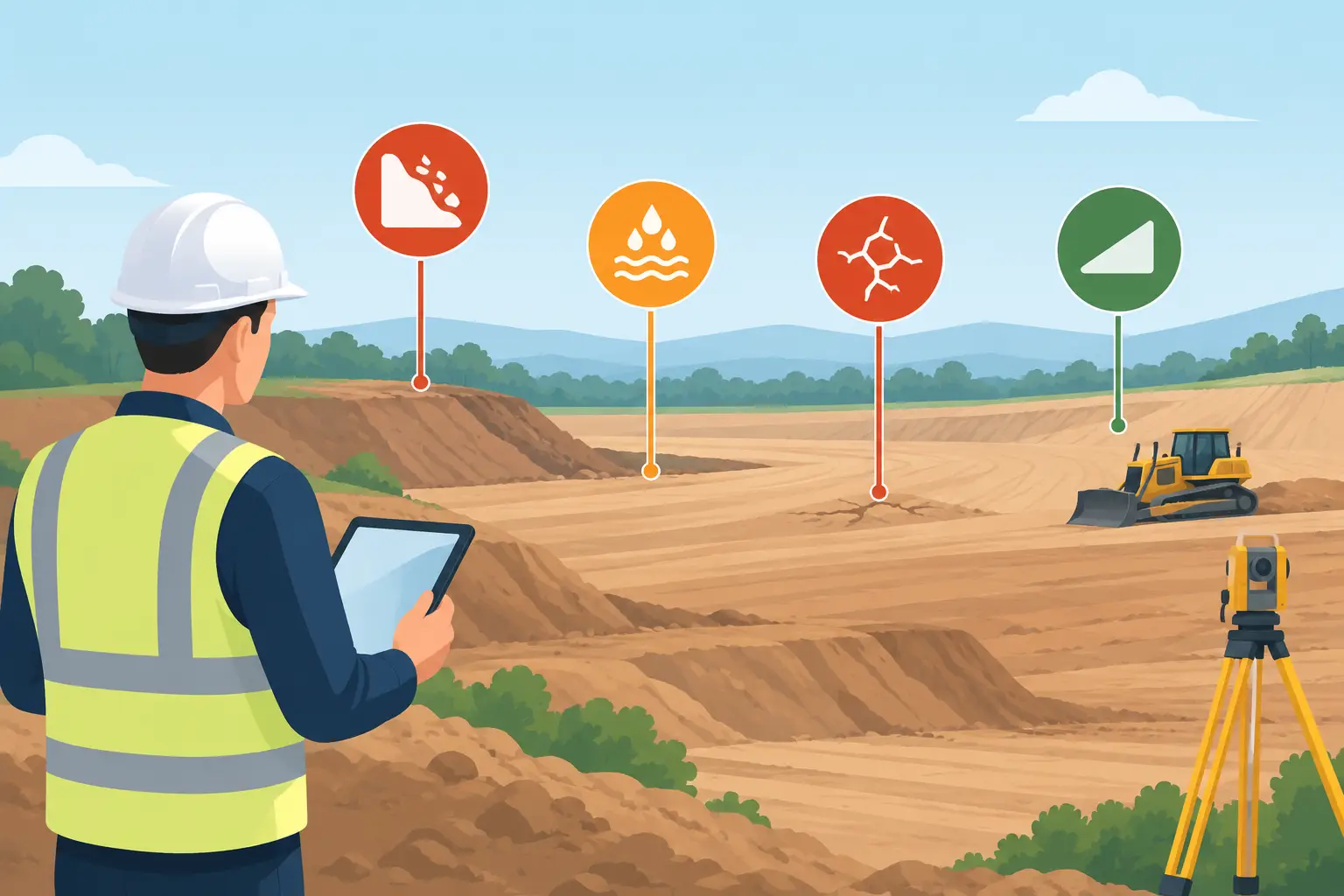
A site can look buildable from the road, fit the zoning, and still destroy the deal in the dirt. The top indicators of grading risk are rarely limited to a steep contour line. They show up where terrain, drainage, soils, access, utilities, and local design requirements collide - usually after a team has spent time and money assuming the pad count works.
For acquisition teams and sitework contractors, the question is not whether a parcel has grades. Every parcel does. The question is whether its existing ground can be converted into buildable lots, roads, pads, and stormwater facilities without importing a mountain of fill, exporting unsuitable material, building expensive walls, or creating a permitting problem that changes the schedule.
Why grading risk changes the land basis
Grading is one of the fastest ways for a preliminary pro forma to become fiction. A modest change in cut-and-fill balance can affect clearing, hauling, rock excavation, retaining walls, erosion control, stormwater, road sections, utility depths, and construction duration. On a residential subdivision, that pressure does not stay in the earthwork line item. It moves through every cost category.
A parcel with more relief is not automatically a bad acquisition. Sloped sites can support premium lots, better views, or a layout with stronger pricing. Flat ground can create its own problems, especially where drainage outlets are limited or the water table is high. The risk is not the topography alone. It is the mismatch between existing conditions and the finished grades required to make the development work.
Early screening should produce a range, not a false promise of precision. A terrain-based takeoff can identify likely earthwork exposure before full civil design, but it still needs to be tested against survey, geotechnical findings, jurisdictional criteria, and the actual layout. That is disciplined underwriting, not hesitation.
Top indicators of grading risk before you buy
1. Large elevation change across a short distance
Relief matters most when it is compressed. A 30-foot drop across a long tract may be manageable. The same drop across a few hundred feet can force road grades, lot depths, driveway transitions, and pad elevations into conflict.
Look beyond the high and low points. Study contour spacing, the direction of fall, and where the usable width of the parcel narrows. Tight contours near an entrance, a proposed collector road, or the only practical utility connection deserve immediate attention. Those locations can force deep cuts, high fills, or retaining solutions before the site plan reaches the back of the property.
2. A cut-and-fill imbalance with no clear disposal plan
A conceptual grading plan should raise an early question: where does the dirt go? If the site produces excess cut, can it remain on site without compromising lots, buffers, drainage, or future phases? If it requires fill, is suitable borrow available nearby, and can trucks reach the site efficiently?
Balanced earthwork is often the cheapest outcome, but it is not always achievable. Rock, unsuitable soils, required pond excavation, roadway subgrade removal, and building pad specifications can all change the balance. Do not underwrite export as a minor trucking allowance. Haul distance, loading, disposal fees, fuel, and production rates can turn surplus material into a material budget event.
3. Drainage that fights the proposed layout
Water follows the ground you have, not the layout you want. Swales, concentrated flow paths, low pockets, closed basins, and broad flat areas should be identified before the first lot yield is treated as real.
A natural drainage feature may be easy to preserve if it fits an open-space plan. It becomes expensive when it cuts through the only logical road alignment or separates buildable areas from stormwater outfalls. FEMA mapping is useful, but it is not a complete drainage analysis. Off-map drainage, upstream runoff, undersized crossings, and downstream discharge constraints can still force significant grading and detention work.
Pay particular attention to the outfall. A site with apparent storage capacity but no viable release point may need off-site easements, pipe extensions, channel improvements, or a different development program. That is not a detail to leave for late-stage engineering.
4. Problem soils, shallow rock, or a high water table
Topography tells you how much material may move. Geotechnical conditions tell you whether that material can perform after it moves. Expansive soils, soft subgrades, organics, shallow bedrock, and seasonal groundwater can each add cost through undercut, stabilization, rock removal, dewatering, import, or thicker pavement sections.
These conditions have different impacts depending on the product type. A shallow rock shelf may be manageable on larger estate lots but costly under dense utilities and curb-and-gutter streets. High groundwater may be tolerable for a shallow detention system but disruptive for deep sanitary sewer. Soil risk should be connected to the utility concept, road profile, and finished-floor strategy rather than carried as a generic contingency.
5. Road and access grades that do not work
The entrance often decides whether a site is economical. Existing public-road elevation, sight distance, driveway grade, drainage crossings, and required turn lanes can constrain the entire vertical design. If the road is high and the tract falls away sharply, a compliant entrance can create a long, expensive transition before the internal street system begins.
Internal roads deserve the same scrutiny. Minimum and maximum grade requirements, vertical curves, intersection tie-ins, and accessible routes can consume more vertical room than an early concept suggests. In hilly terrain, a plan may achieve the target lot count only by producing awkward driveway grades or expensive split-level pads. Those are not minor field adjustments. They are evidence that the yield may be overstated.
6. Retaining walls doing too much work
Retaining walls are sometimes the right answer. They can preserve a road alignment, recover usable area, or limit disturbance near a buffer. The problem starts when walls become the unexamined fix for every grading conflict.
A quick concept should identify where walls are likely, their approximate heights, and what they are retaining. A low landscape wall is different from a tall engineered structure supporting a road, utilities, or building pad. Wall costs also bring foundations, drainage, guardrails, aesthetic requirements, maintenance responsibility, and potential permitting review. If the plan relies on walls to make the lots fit, price them early and challenge the layout.
7. Municipal criteria that increase the earthwork scope
Local requirements can turn a workable terrain concept into a more expensive one. Jurisdictions may set minimum pad elevations, maximum retaining-wall heights, roadway grade limits, slope standards, tree-preservation thresholds, stormwater treatment rules, or restrictions on off-site discharge. Some require detailed mass-grading or erosion-control submissions early in the entitlement process.
This is where county and municipal research matters. Do not assume neighboring projects were approved under the same standards or that an older subdivision proves a current design will pass. Confirm the applicable ordinance, watershed requirements, public-works standards, and review expectations for the specific site. The fastest underwriting process is the one that finds the governing constraint before it becomes a redesign.
Put grading risk into the acquisition workflow
The right sequence is practical: screen the terrain, test access and drainage, identify environmental and utility constraints, generate a preliminary earthwork and sitework estimate, then push those costs directly into the deal model. That process lets the team compare parcels on more than acres, asking price, and unit yield.
A GIS-centered workflow is useful because it keeps the evidence in one place. Parcel boundaries, contours, flood zones, wetlands, utility overlays, road access, and conceptual takeoffs should support the same decision record. When a site advances, the acquisition team, estimator, civil engineer, and investment committee should be looking at the same assumptions instead of separate maps and disconnected spreadsheets.
Land Takeoffs is built for that sequence: find the parcel, analyze terrain and constraints, estimate sitework across detailed line items, and evaluate the effect on project returns. It does not replace civil engineering or geotechnical work. It gives the team a faster, more defensible basis for deciding where to spend those engineering dollars.
Before earnest money goes hard, put the risky areas on the map, assign a cost range to each one, and state what must be verified. That turns grading from a vague contingency into an acquisition decision your team can actually defend.
Get these quantities from your own plan set
Land Takeoffs reads stamped civil plan sets and CAD files (PDF, DWG, DXF, LandXML) and returns cut and fill, storm, sewer, water and paving quantities, each with the sheet it came from. Your first takeoff is free.
Start a free takeoffUse it in Claude or ChatGPT